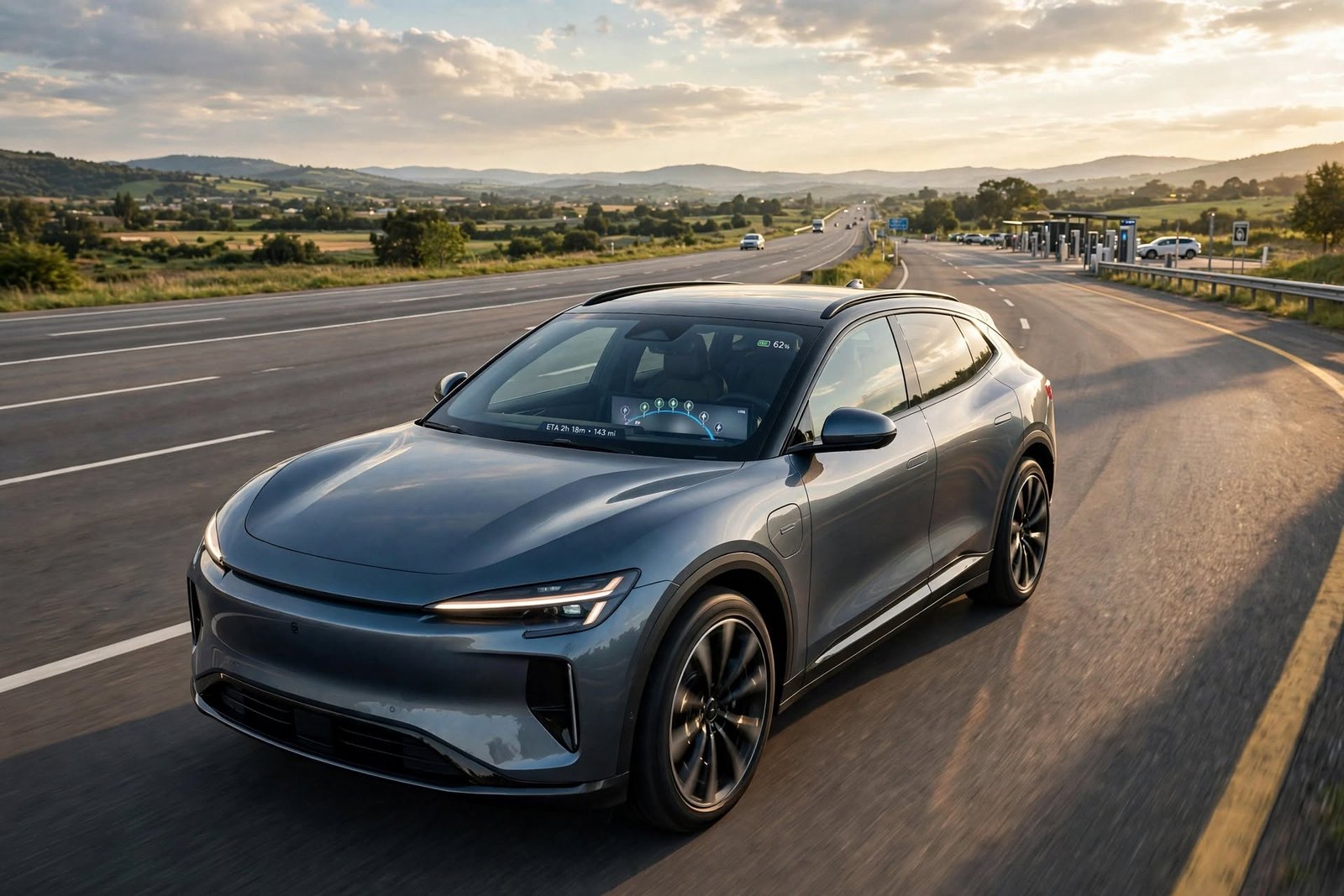
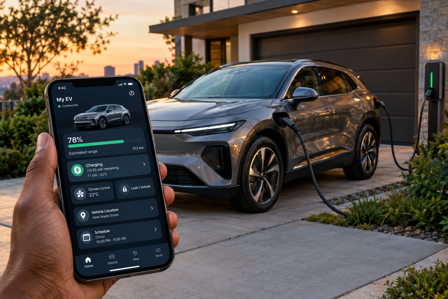
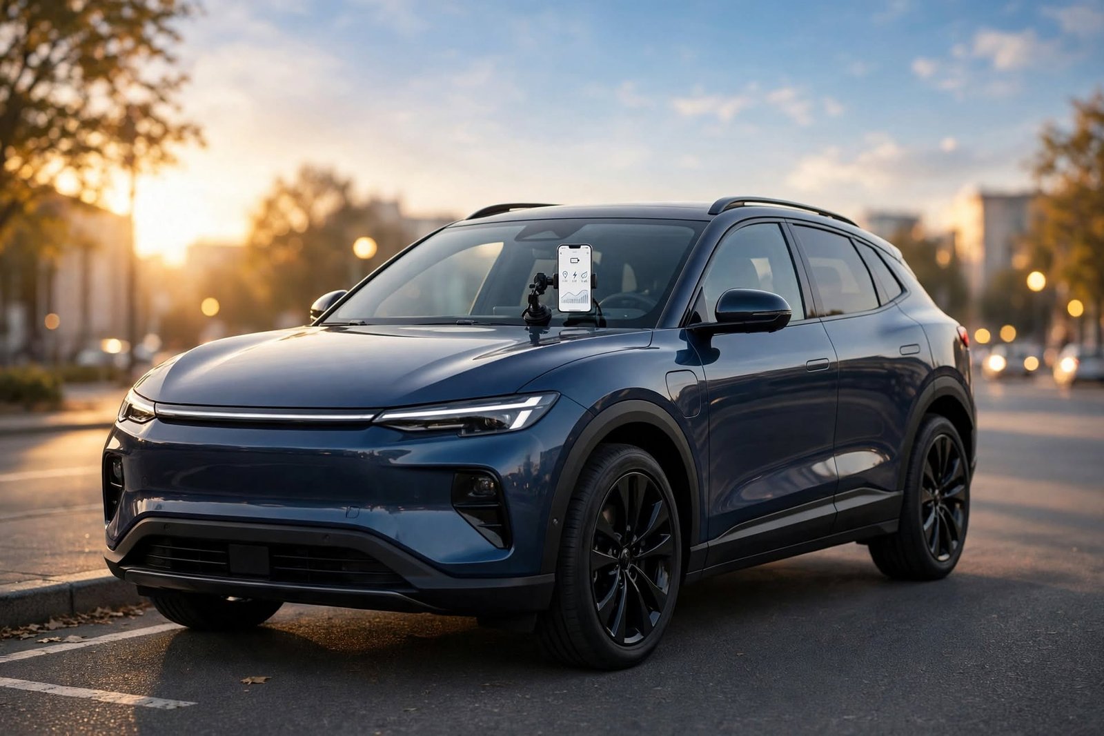
GPS Navigation vs Google Maps is an important comparison for drivers selecting the appropriate navigation system, particularly when driving in an unfamiliar location or in heavy traffic. There are two popular choices: dedicated GPS navigation systems and smartphone apps like Google Maps. They offer the same turn-by-turn navigation, but differ in several respects, including navigation accuracy, traffic information, offline navigation, battery usage, screen size, voice commands, map updates, connectivity, and vehicle integration.
Dedicated GPS devices are designed to be used for navigation, and Google Maps relies on the GPS receiver, internet connection, processor, and display of the smartphone. Both choices are not necessarily the best for all drivers. It depends on where the driver drives, how much they drive, if they need to know directions without using a GPS, and how important traffic information is to their driving.
Dedicated GPS Navigation Systems vs Google Maps
When choosing the navigation system for your car, you will come across two options: a dedicated GPS navigation system and Google Maps.
Normally, dedicated GPS navigation systems include their own GPS receiver, maps, processor, and screen and are designed for the specific purpose of navigation. They don’t require a cell phone and are intended to be used even when the car is in use. Many models will offer lane guidance, points of interest and route planning, speed-limit information, and turn-by-turn directions. If interested in dedicated navigation hardware, information regarding dedicated GPS navigation systems and the features offered on various types of dedicated navigation systems can be found.
Google Maps has a different idea of what navigation really means, instead making a cell phone into a navigation system. It can compute routes and directions using the phone’s GPS, mobile data, sensors, processor, and touch screen. The main benefit of it is its versatility, as it can be used for navigation, communications, searching, and more. But with smartphone navigation come some factors like battery consumption, mobile data, phone mounting, notifications, and mobile reception.
Accuracy and Reliability of Routes
Satellite-based location technology allows both modern smartphones and dedicated GPS devices to accurately determine the location. Under normal circumstances, there is not so much difference between accuracy in basic positioning. The directions that are provided might be more effectively useful to the user based on the quality of the map database, the satellite reception, the quality of the software, and the quality of the roads being displayed.
Google Maps can be a benefit when roads are icy, since it can make the necessary route adjustments. Highly accurate GPS directions can also be provided by dedicated GPS devices, though the accuracy will depend on when the maps were last updated. An older GPS device with out-of-date maps may not be as helpful as a smartphone with up-to-date mapping data. The accuracy should thus be taken in combination with the freshness of maps and the information provided in real time.
Traffic Information and Real-Time Conditions
One of the big strengths of Google Maps is its live traffic data. It can analyse the condition of the roadway in real time to detect congestion and suggest an alternate road route in case another road should be quicker. This is particularly helpful in congested urban areas with rapid changes in traffic. Those who drive during rush hour can take a lot of advantage of this response capability.
There are many different GPS devices available, and they have different traffic functions. A few newer devices offer real-time traffic services; others may use a combination of stored maps and services or use maps primarily. This can then rival the capabilities of smartphone navigation, but drivers should find out if the specific model and area have the capability for these features. If you don’t drive in heavy traffic, you might not need anything more than basic GPS navigation.
Ability to Navigate Offline and Connect Without Having to Use a Wi-Fi Network
One of the best features of a dedicated GPS device is offline mapping. Normally, maps are stored directly on the device, so they can continue to provide directions without mobile internet access. This can come in handy on road trips in rural areas or where there is low phone reception. With satellite reception and the appropriate maps, the device can keep working out routes.
Users can also download maps prior to traveling to use Google Maps offline. Some of the features that are connected are not available in offline mode, however, including live traffic and dynamically changing road conditions. This means people driving should download the area they require before going into an area that has poor service. One clear advantage of dedicated GPS is that it is not an additional preparation task, but a natural feature of its design, which allows it to function offline.
The Amount of Power a Battery Uses and Consumes
Smartphone navigation can be a great drain on battery life since the GPS, the screen, the processor, and the mobile data link may be on during a trip. Long trips can thus significantly drain the phone’s battery, especially if the screen remains illuminated for a few hours. With extensive use of GPS for navigation, drivers could find themselves relying heavily on their phones and may require a vehicle charger.
Since it’s a stand-alone GPS that doesn’t rely on the smartphone’s battery, it won’t consume the smartphone’s battery. The majority of units can be powered directly from the car to provide power for extended trips. It is convenient for drivers that wish to keep their phone on hand for calls and other purposes. This separation can be a big benefit for those who travel often.
Screen Size and Visibility
The GPS navigation devices intended for the automotive environment are dedicated, and many of them are large enough to see maps, next turns, and lane direction. They tend to have interfaces that are based on navigation, making it easy to find key information. However, the screen sizes are different among the various models, and prospective buyers should think about the quality of the screens and their legibility prior to purchasing a model.
The size of the smartphone screen also varies widely. A large modern phone will be able to show a map in a way that is easy to read and understand, but a smaller phone might not. Proper mounting is crucial, as the driver has to see the screen without creating an obstruction. If the smartphone is compatible with the vehicle’s infotainment electronics, navigation can then be displayed on a larger screen on the vehicle’s dashboard.
Voice Guidance
Voice guidance assists drivers to follow instructions without having to keep their eyes on a screen. Voice prompts for upcoming turns and route changes can be given by a dedicated GPS device or by Google Maps. The voice instructions, lane guidance, and alerts are built into the driving experience of a dedicated GPS, as they are designed with navigation in mind.
Google Maps can combine voice directions with its live routing capabilities. The app can even give instructions in real time if the traffic situation changes, while the driver keeps driving towards his destination. But it is possible for smartphones to also call, text, and receive notifications that can affect navigation. These distractions can be mitigated by setting up phones and vehicles properly, helping to make navigation instructions easier to follow.
Data From the Map Is Updated That Often and Can Be Used Long Term
Drivers require periodic updates to their dedicated GPS systems since they rely on the map databases that are stored in them. The procedure will be different for various manufacturers and models, and some devices might have simpler update procedures than others. If map support from older devices is discontinued or updates are hard to come by, they may eventually become less useful.
An advantage of Google Maps is that its map service can be updated often without the driver needing to change a map database. Road information, addresses, businesses, and more can be updated via the service. This is not a real-time, foolproof system, but it is a way for a driver to have current map information at his fingertips while driving.
Vehicle Infotainment Integration
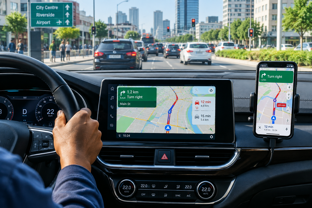
Some of the distinctions between more traditional GPS devices and smartphones’ navigational features have been diminished by newer infotainment systems. Smartphone navigation can be displayed on the vehicle’s bigger dashboard screen, so the driver can enjoy all the benefits of Google Maps without losing out on the built-in display and audio. This can help smartphone navigation to be more user-friendly than navigation through the phone’s screen only.
But some aftermarket vehicle packages come with dedicated GPS systems as part of the package too. With proper installation, the system can offer a clean look and in-car controls for permanent navigation hardware. However, the installation may cost more than just the use of an existing smartphone. For many drivers, smartphone connectivity with the infotainment system offers a convenient compromise.
Which One Is the Better Navigation System? GPS Navigation vs Google Maps?
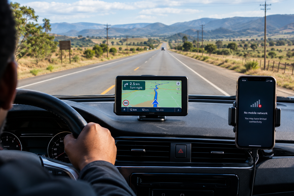
Google Maps tends to be more popular among drivers who prefer real-time traffic updates, regular updates to maps, the ability to plan routes flexibly, and the ease of use on their smartphones. The adaptive cruise assist system is especially helpful for navigating city roads and for commuters who drive on busy highways every day. Even when you are in areas with minimal connectivity, offline maps offer some protection, as long as maps have been downloaded first.
GPS navigation that doesn’t require a smartphone might suit drivers who rely on offline maps, dedicated GPS devices, conserving battery life on their phones and mobile signal, or want to navigate without relying on mobile data. This can be particularly helpful for longer-distance drivers and individuals who frequently drive through areas where cell phone reception is weak. An even more comprehensive experience can be achieved with maps that are updated regularly and with real-time traffic information.
Not every driver has a clear-cut winner. Google Maps has a great degree of flexibility, live traffic data, regularly updated maps, and it is easy to connect it to a smartphone. These benefits can make it the more convenient choice for everyday city driving, especially one that is compatible with smartphone-to-infotainment connectivity.
Separate GPS devices are still useful for their built-in hardware, preloaded maps, and freedom from a cell phone. These can be especially convenient for long trips and where cell phone reception is weak. In the end, drivers can pick based on their usual driving habits, as Google Maps will be more connected and provide the most up-to-date information, while dedicated GPS will be more independent and reliable without needing an internet connection.